McKellar Park, by the river
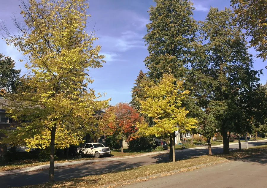
McKellar Park is a neighbourhood in Bay Ward in the west end of Ottawa, Ontario, between Denbury Avenue and Sherbourne Avenue, with the Ottawa River on its north side. Wikipedia says it is sometimes treated as part of the greater Westboro area. Every fact on this site links to its source.
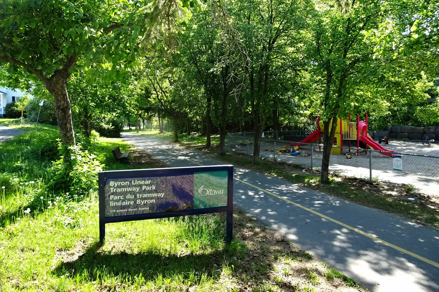
Byron Linear Tramway Park, a tree-lined path along a former streetcar line. Photo: P199, CC BY-SA 4.0, via Wikimedia Commons
mckellarpark.homes is an independent guide to McKellar Park, Ottawa. It maps 9 schools, 29 parks and recreation places and 18 shops and restaurants, each with its source.
Updated · Facts on this page link to their sources
The neighbourhood
Where it starts and ends, and what is nearby.
For sale now
Each home has its own website; tap through for photos, rooms and the open house.
No homes listed right now
New homes appear here as soon as their websites go live. See recently sold.
Latest guides
Researched from public sources, with every source linked on the page.
- Parks & trails
Parks, rinks and pools
McKellar Park itself, the old streetcar line and nearby recreation.
Updated October 2026 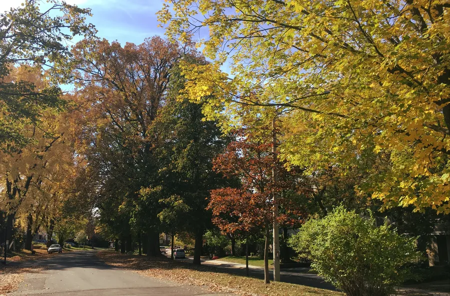 Schools
 nearby
Public, Catholic and independent schools near McKellar Park, with their boards.
Updated October 2026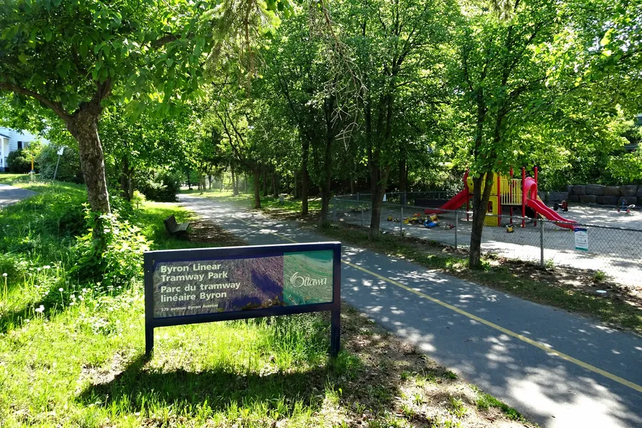 Shops & dining
Shops and errands
Groceries, bakeries and butchers nearby.
Updated October 2026- Transit
Getting around
Distance to downtown and the nearby O-Train stations.
Updated October 2026 - Market
The market, honestly
OREB's latest numbers for Ottawa, what they mean, and what they don't.
Updated October 2026
The area at a glance
Wikipedia places McKellar Park in Bay Ward, bounded on the east by Denbury Avenue, on the south and west by Sherbourne Avenue, and on the north by the Ottawa River. Wikipedia says it is sometimes considered part of the greater Westboro area. Lines between neighbouring communities overlap in practice.
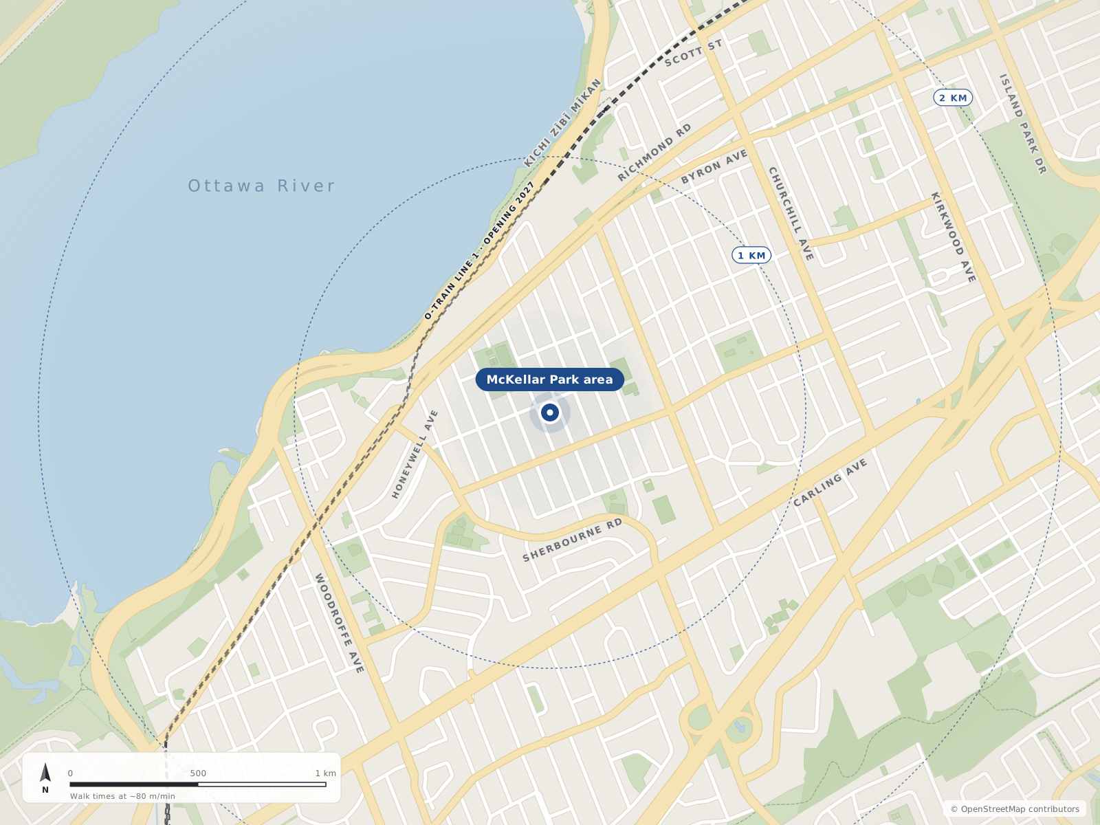
Neighbourhood centres
- 1McKellar Park0 m
The market, honestly
Citywide Ottawa figures from OREB's monthly MLS® report. They describe the whole city, not one neighbourhood.
- $705,100Single-family benchmark price (MLS® HPI)Nearly unchanged from Sept 2025; down 3.0% from August
- 4.4Months of inventory, single-familyAll homes: 4.8, up from 4.1 a year earlier
- $685,640Average sale price, all homesDown 1.0% from Sept 2025
- 1,010Homes sold in SeptemberDown 6.6% from Sept 2025
Figures for September 2026, released October 5, 2026 · Source: oreb.ca
Quick answers
Short answers first; each links to the full answer and its sources.
Is McKellar Park a good place to live?
McKellar Park is a residential west-end Ottawa neighbourhood between Denbury Avenue and Sherbourne Road, running from Carling Avenue north to the Ottawa River. From the neighbourhood centre, McKellar Park (with a fieldhouse, wading pool and outdoor rink) is about 0.26 km away, Broadview Public School about 0.38 km and Loblaws about 1.08 km, all straight-line. Parliament Hill is about 9.5 km and 13 minutes by car in free-flowing traffic.
As of 2026-10 · en.wikipedia.org mckellarparkcommunity.wordpress.com
What schools serve McKellar Park?
The schools closest to the McKellar Park centre are Nepean High School (about 0.36 km) and Broadview Public School (about 0.38 km), both Ottawa-Carleton District School Board, and Notre Dame High School (about 0.6 km, Ottawa Catholic School Board). Our Lady of Fatima School (OCSB) is about 0.91 km away and Woodroffe Avenue Public School (OCDSB) about 1.06 km.
As of 2026-10 · openstreetmap.org openstreetmap.org
How far is McKellar Park from downtown Ottawa?
Parliament Hill is about 6.7 km in a straight line from the McKellar Park centre. By road it is about 9.5 km, or around 13 minutes in free-flowing traffic.
As of 2026-10 · router.project-osrm.org openstreetmap.org
What are homes like in McKellar Park?
McKellar Park is a grid of mostly residential streets, including Wavell, Courtenay, Windermere, Westminster, Mansfield and Fraser, between Denbury Avenue and Sherbourne Road. In the 2021 census, the Ottawa Neighbourhood Study's wider 'Laurentian' area (which includes McKellar Park) was 47.5% single-detached houses and 23.4% apartments in buildings of five or more storeys.
As of 2021 · mckellarparkcommunity.wordpress.com ons-sqo.ca
What is the nearest O-Train station to McKellar Park?
The nearest O-Train station to the McKellar Park centre is Sherbourne station, about 0.63 km away straight-line, on the western edge of the neighbourhood. Kichi Zìbì station is the next closest, about 1.26 km away. Both are on the Confederation Line (Line 1) west extension.
As of 2026-10 · openstreetmap.org openstreetmap.org
Where do people in McKellar Park buy groceries?
The closest grocery stores to the McKellar Park centre are Produce Depot (1855 Carling Avenue, about 0.7 km) and Loblaws (2085 Carling Avenue, about 1.08 km, inside the Carlingwood Shopping Centre area). Bulk Barn (2148 Carling Avenue, about 1.4 km) and the Real Canadian Superstore (190 Richmond Road, about 1.88 km) are also nearby.
As of 2026-10 · openstreetmap.org openstreetmap.org